Radar Glance
Radar Glance generates an estimated $0/month in revenue from 0 downloads/month on the App Store, according to AppCurrents estimates (updated 2026-08-02).
| Est. revenue / month | $0 |
|---|---|
| Est. downloads / month | 0 |
| Estimate confidence | low |
| Pricing | Paid $0.99 |
| Rating | 0.00 ★ (0 ratings) |
| Category | Weather |
| Released | 03.06.2026 |
| App last updated | 29.06.2026 |
| Platform | iOS |
Modeled monthly estimate · rating velocity · low confidence
About
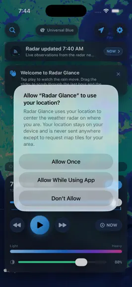
Radar Glance is a field-friendly animated weather radar for iPhone and iPad. Open it to see precipitation moving across an Apple Maps base layer, switch to satellite infrared when cloud-top structure matters, save important places, and use built-in tools to understand what the radar is actually showing. VERSION 2.1 PRO FIELD UPGRADE Storm Desk turns the current map center into a practical radar b…
Trends & analysis
Chart rank trend
US · overallWhy it's surfacing
Scout 36Ratings & velocity
★ 0 in windowGeographic reach
best rank · 0 storefrontsRevenue & downloads trend
monthly estimateUpdate history
3 updates tracked- v2.11mo ago
Version 2.1 adds a pro field upgrade for Radar Glance. New Storm Desk: - Range, storm-speed presets, and ETA estimate from the current map center - Reflectivity sample with approximate rainfall-rate math - Beam-height estimate for judging distant radar confidence - Layer/daylight context and a copyable field brief New offline Radar Field Guide: - Ten bundled high-resolution reference sheets covering dBZ, beam height, ETA, distance rings, satellite IR, timeline reading, saved places, offline behavior, and source notes Also updated App Store screenshots, review notes, privacy/support pages, and test coverage.
- v2.01mo ago
Radar Glance 2.0 — a pro upgrade with powerful new on-device tools. • Range & Bearing: great-circle distance and true compass bearing from you (or a saved place) to anywhere on the map, with an animated compass. • Storm ETA: an honest "arrives in ~X min" estimate from a storm's speed. • Radar beam-height readout: see how high the radar beam is at a given distance, and why far-off rain gets missed. • dBZ ⇄ rainfall calculator: map reflectivity to an approximate rain rate (Marshall-Palmer). • Saved-location bearing board: distance and compass point to each saved place at a glance. • Daylight & layer hint: sunrise/sunset and a night-aware Satellite IR suggestion. All of the new tools compute entirely on your device.
- v1.21mo ago
Version 1.1 (build 3) Precipitation Intensity Guide — a new offline reference tells you what the radar colors actually mean. Open it from the "i" button on the map or from Settings > About. It shows the full 8-level NWS dBZ scale (Trace through Extreme), approximate rainfall rates, plain-English descriptions, and a palette-specific paint guide that maps your active color scheme's shades to intensity levels. Sourced from NOAA/NWS NEXRAD and the Wikipedia dBZ article. Entirely offline — no network needed. Distance Rings — optional dashed concentric circles on the radar map help you eyeball how far approaching precipitation is. Turn them on in Settings > Distance Rings and choose Close-in (25 / 50 / 100 mi) or Wide-area (50 / 100 / 200 mi). The unit follows your device locale automatically (miles or kilometres). Rings stay centered as you pan. Bug fix — switching the map layer (Radar / Satellite IR) in Settings now correctly rebuilds the frame list from the cached manifest immediately, rather than waiting for the next auto-refresh cycle.
Radar Glance — FAQ
How many downloads does Radar Glance get?
Radar Glance sees an estimated 0 downloads per month on the App Store, per AppCurrents modeling.
Is Radar Glance free?
Radar Glance is a paid app priced at $0.99 on the App Store.
When was Radar Glance released?
Radar Glance launched on the App Store on 03.06.2026. Its latest version shipped 29.06.2026.


