
Offline Maps - GPS Tracker
Offline Maps - GPS Tracker generates an estimated $0/month in revenue from 2–9 downloads/month on the App Store, according to AppCurrents estimates (updated 2026-10-02).
| Est. revenue / month | $0 |
|---|---|
| Est. downloads / month | 2–9 |
| Estimate confidence | medium |
| Pricing | Free |
| Rating | 4.50 ★ (4 ratings) |
| Category | Navigation |
| Released | 17.12.2014 |
| App last updated | 26.08.2026 |
| Platform | iOS |
Modeled monthly estimate · rating velocity · medium confidence
About
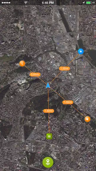
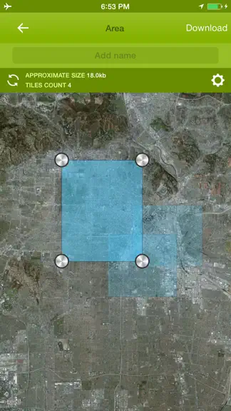
Offline Maps is a practical map companion for travel, hiking, cycling, field work, and any day when you want your map tools ready before the signal disappears. Open the app and start working directly on the map. Choose from Apple maps, OSM vector maps, OSM legacy maps, cycling, hiking, nautical, aeronautical, and other supported sources. Save map areas for offline use where downloads are supporte…
Trends & analysis
Chart rank trend
US · overallWhy it's surfacing
Scout 5Ratings & velocity
★ 0 in windowRating distribution
50% positive · 2 ratingsGeographic reach
best rank · 0 storefrontsRevenue & downloads trend
ARPU $0Update history
2 updates tracked- v2.0.11mo ago
- Improved Dark Mode readability in Settings. - Added protection against invalid indoor GPS fixes, including accidental 0/0 location display.
- v2.02mo ago
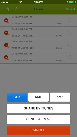
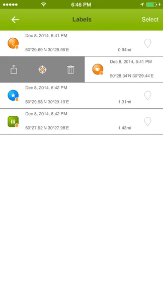
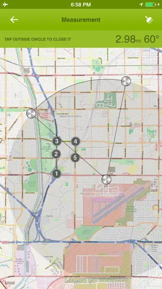
+ Added a new map-first workspace with modern floating controls. + Added grouped map providers for Apple, OSM, Google viewing, cycling, hiking, nautical, other maps, and FAA chart layers. + Added OSM Vector/OpenFreeMap support through vector map rendering. + Added offline area downloads for supported providers with progress, retry, resume, rename, delete, update, thumbnails, and provider-specific saved-area overlays. + Added a one-time 500 MB offline storage reward after the first successful offline map download. + Added GPS track recording with pause, resume, stop confirmation, background recording, recovery, Live Activity support, and live map drawing. + Added track search, track thumbnails, selected-track display on the map, color and gradient styles, and start/end markers. + Added track import and export for GPX, KML, KMZ, GeoJSON, TCX, and CSV, plus PNG map image sharing. + Added Map Items, a single place to manage tracks, waypoints, and measurements. + Added waypoint creation from current location, long-press, selected coordinates, and GPX import. + Added waypoint icons, renaming, search, show/hide controls, coordinate sharing, and GPX export. + Added waypoint tracking mode with distance labels and guide lines to visible and offscreen waypoints. + Added measurement tools for lines, polylines, radius, circles, rectangles, and polygons with draggable points. + Added measurement import/export for GeoJSON, KML, GPX, and CSV. + Added coordinate inspection and coordinate search for Decimal, DMS, UTM, MGRS, Plus Code, GeoHash, and supported Google Maps links. + Added Settings options for offline maps, measurement units, sleep prevention, support contact, and app information.
Offline Maps - GPS Tracker — FAQ
How many downloads does Offline Maps - GPS Tracker get?
Offline Maps - GPS Tracker sees an estimated 2–9 downloads per month on the App Store, per AppCurrents modeling.
Is Offline Maps - GPS Tracker free?
Offline Maps - GPS Tracker is free to download on the App Store, with no in-app purchases detected.
What is Offline Maps - GPS Tracker's rating?
Offline Maps - GPS Tracker holds a 4.50-star average from 4 ratings on the App Store.
When was Offline Maps - GPS Tracker released?
Offline Maps - GPS Tracker launched on the App Store on 17.12.2014. Its latest version shipped 26.08.2026.
Apps like Offline Maps - GPS Tracker
See all alternatives → Google MapsNavigation · $760k–$4.1M/mo
 Transit • Subway & Bus TimesNavigation · $690k–$3.8M/mo
 onX Hunt: GPS Hunting MapsNavigation · $350k–$1.2M/mo
 Speedometer SimpleNavigation · $48k–$260k/mo
 Trucker Path: Truck GPS & FuelNavigation · $48k–$260k/mo
 Find my Phone - Family LocatorNavigation · $37k–$210k/mo