
Mt Adams Loop generates an estimated $0/month in revenue from 0 downloads/month on the App Store, according to AppCurrents estimates (updated 2026-10-02).
| Est. revenue / month | $0 |
|---|---|
| Est. downloads / month | 0 |
| Estimate confidence | low |
| Pricing | Paid $5 |
| Rating | 0.00 ★ (0 ratings) |
| Category | Navigation |
| Released | 27.08.2026 |
| App last updated | 27.08.2026 |
| Platform | iOS |
Modeled monthly estimate · rating velocity · low confidence
About
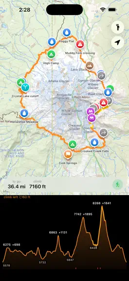
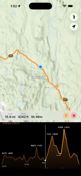
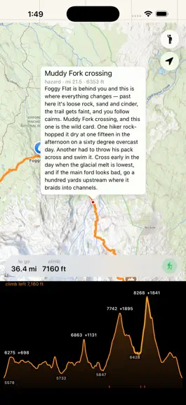
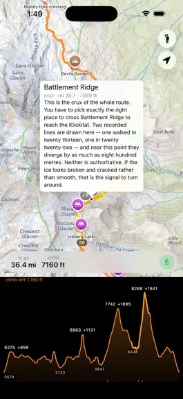
An offline hiking app that knows exactly one trail: the 36-mile circumnavigation of Mount Adams, Washington. It knows nothing else, and that is the point. WHY ONE TRAIL No single trail goes around Mount Adams. The route links Round the Mountain #9, the Pacific Crest Trail and the Highline #114 — and then, on the east side, runs out of trail altogether. Roughly four miles are moraine, loose rock…
Trends & analysis
Chart rank trend
US · overallWhy it's surfacing
Scout 36Ratings & velocity
★ 0 in windowGeographic reach
best rank · 0 storefrontsRevenue & downloads trend
monthly estimateUpdate history
1 update tracked- v1.01mo ago
Mt Adams Loop — FAQ
How many downloads does Mt Adams Loop get?
Mt Adams Loop sees an estimated 0 downloads per month on the App Store, per AppCurrents modeling.
Is Mt Adams Loop free?
Mt Adams Loop is a paid app priced at $5 on the App Store.
When was Mt Adams Loop released?
Mt Adams Loop launched on the App Store on 27.08.2026. Its latest version shipped 27.08.2026.
Apps like Mt Adams Loop
See all alternatives → Google MapsNavigation · $750k–$4.0M/mo
 Transit • Subway & Bus TimesNavigation · $710k–$3.8M/mo
 onX Hunt: GPS Hunting MapsNavigation · $190k–$640k/mo
 onX Offroad: Trail Maps & GPSNavigation · $110k–$620k/mo
 Trucker Path: Truck GPS & FuelNavigation · $48k–$260k/mo
 Speedometer SimpleNavigation · $48k–$260k/mo