
GoGIS
GoGIS generates an estimated $8–$200/month in revenue from 5–20 downloads/month on the App Store, according to AppCurrents estimates (updated 2026-08-02).
| Est. revenue / month | $8–$200 |
|---|---|
| Est. downloads / month | 5–20 |
| Estimate confidence | medium |
| Pricing | Paid $4.99 |
| Rating | 5.00 ★ (1 ratings) |
| Category | Business |
| Best chart rank | #96 Business Paid |
| Released | 17.02.2026 |
| App last updated | 24.07.2026 |
| Platform | iOS |
Modeled monthly estimate · rating velocity · medium confidence
About
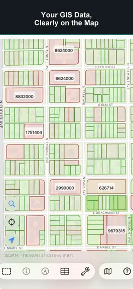
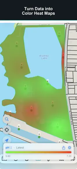
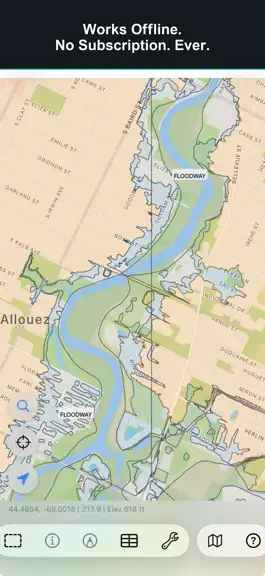
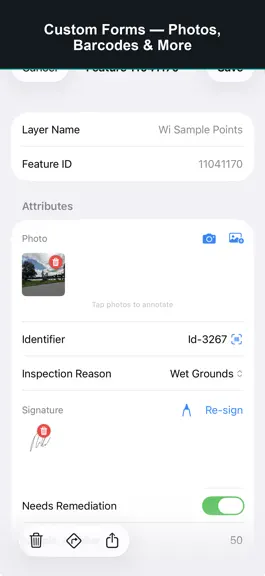
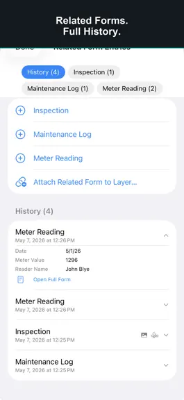
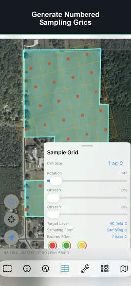
GoGIS is field GIS for solo pros and small crews. Import the GIS files you already use, collect structured records offline, keep nearby iPhones and iPads in sync, and export clean data when the job is done. No subscription. No account. Buy once and own it forever. GoGIS works offline and keeps your project data on your device. Take it into the field, collect GPS-stamped observations, snap photos…
Trends & analysis
Chart rank trend
US · categoryWhy it's surfacing
Scout 29Ratings & velocity
★ 0 in windowRating distribution
100% positive · 1 ratingsGeographic reach
best rank · 7 storefrontsRevenue & downloads trend
ARPU $4Update history
8 updates tracked- v1.4.301413d ago
Attribute Grid Editing Edit attributes without opening each feature one by one. • Tap any cell in the attribute table to edit in place — text, numbers, dates, toggles, and pick lists, plus barcode/QR scan and photos, signatures, or field sketches where supported • Related-form tables support the same inline editing • Select rows to batch-update a column across many features at once, or bulk-delete a set of rows • Undo the last cell edit, batch update, or delete with a short on-screen toast Faster cleanup in the field or at the desk — especially when fixing bag IDs, statuses, or lab-related attributes after collection.
- v1.4.209815d ago
Your Imagery on the Map Import satellite, aerial, and drone photos as map layers (GeoTIFF or MBTiles). They draw above the basemap and below your GIS features so you can sample, digitize, and inspect against real orthos offline. Control opacity, visibility, and stacking order, and zoom to a layer's extent. GeoTIFF converts on your device into smooth map tiles.
- v1.4.203820d ago
Your Imagery on the Map Import satellite, aerial, and drone photos as map layers (GeoTIFF or MBTiles). They draw above the basemap and below your GIS features so you can sample, digitize, and inspect against real orthos offline. Control opacity, visibility, and stacking order, and zoom to a layer's extent. GeoTIFF converts on your device into smooth map tiles.
- v1.4.112526d ago
Walk to Draw Draw points, lines, and polygons by walking instead of tapping every location. Turn on Walk to Draw in the Digitize panel, choose a spacing, and GoGIS adds points or vertices automatically as you move — mix walking and tapping in the same feature, pause anytime, and it works with external GPS receivers for survey-grade accuracy.
- v1.4.112227d ago
Walk to Draw Draw points, lines, and polygons by walking instead of tapping every location. Turn on Walk to Draw in the Digitize panel, choose a spacing, and GoGIS adds points or vertices automatically as you move — mix walking and tapping in the same feature, pause anytime, and it works with external GPS receivers for survey-grade accuracy.
GoGIS — FAQ
How much money does GoGIS make?
According to AppCurrents estimates, GoGIS generates approximately $8–$200 per month (medium confidence), modeled from its the App Store chart performance, rating velocity, and monetization signals.
How many downloads does GoGIS get?
GoGIS sees an estimated 5–20 downloads per month on the App Store, per AppCurrents modeling.
Is GoGIS free?
GoGIS is a paid app priced at $4.99 on the App Store.
What is GoGIS's rating?
GoGIS holds a 5.00-star average from 1 ratings on the App Store. It currently ranks #96 on the Business paid chart.
When was GoGIS released?
GoGIS launched on the App Store on 17.02.2026. Its latest version shipped 24.07.2026.


